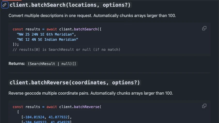
plss-api
PLSS API for O&G Lease Databases: Geocoding Legal Descriptions at Scale
Use a PLSS API to geocode oil and gas lease database legal descriptions at scale, returning latitude, longitude, and GeoJSON polygons for every tract.
Read articleDiscover insights, stories, and the latest updates from Township America.
Use a PLSS API to geocode oil and gas lease database legal descriptions at scale, returning latitude, longitude, and GeoJSON polygons for every tract.
Read article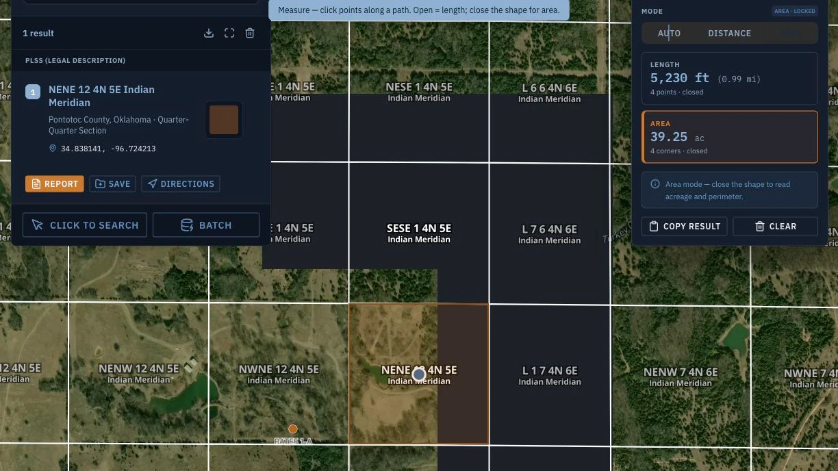
Drone surveying and PLSS rarely speak the same language. Turn UAV boundary coordinates into township, range, section, and aliquot notation for permit filings.
Read article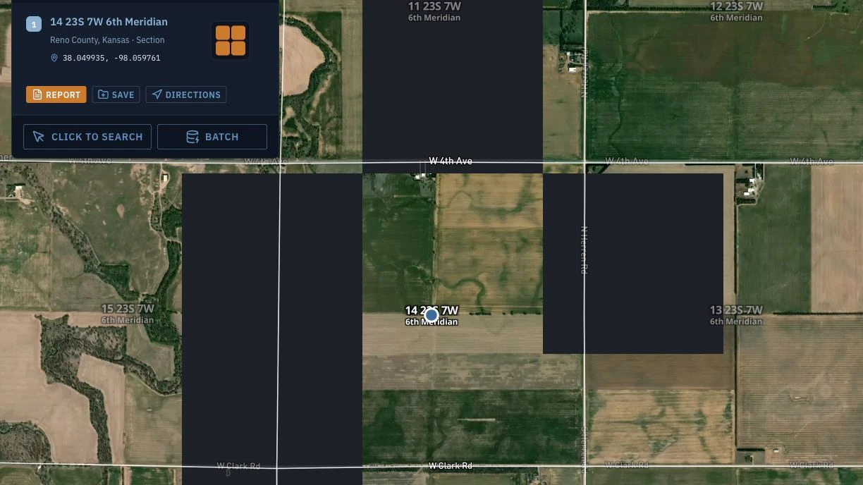
A Kansas PLSS converter guide: read a legal description off the 6th Principal Meridian, then screen farmland with NRCS soils, crop history, and flood layers.
Read article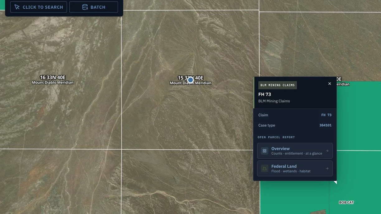
A mining claim location notice needs an exact PLSS legal description. Here is how to build and verify one for BLM recordation, and what to check first.
Read article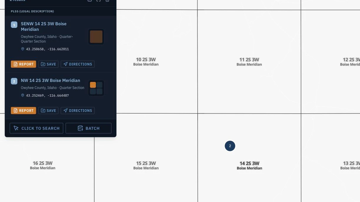
PLSS title examination for abstractors and examiners: read aliquot deed descriptions correctly and verify them against BLM survey boundaries before you issue an opinion.
Read article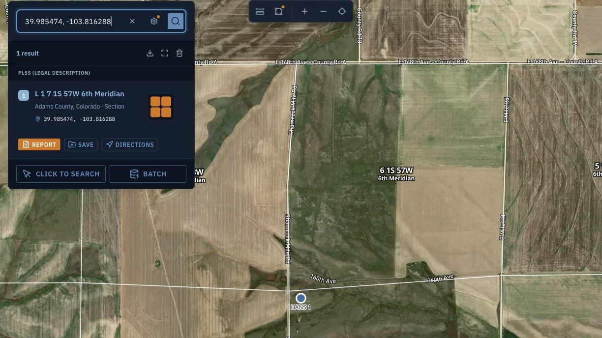
Reverse PLSS lookup turns latitude and longitude into a legal land description. A practical guide for surveyors, landmen, and GIS teams working backward.
Read article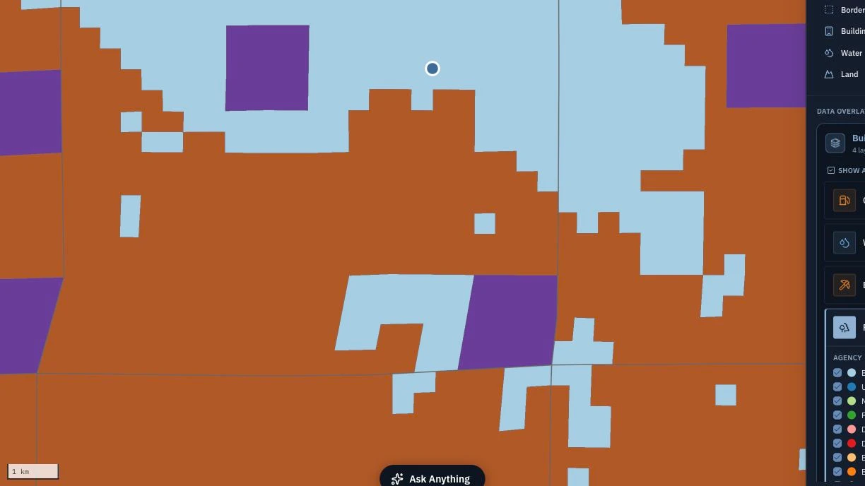
A practical BLM GeoCommunicator alternative for PLSS teams: what the old BLM tool lacked, what a replacement needs, and how the same legal description resolves today.
Read article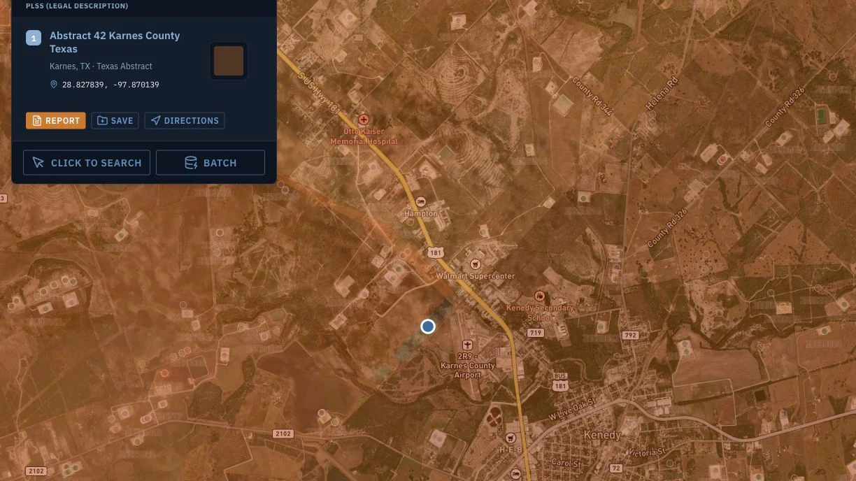
Eagle Ford lease due diligence in South Texas: use the Texas pack to screen RRC active wells, lease production history, and W-1 pending permits before you sign.
Read article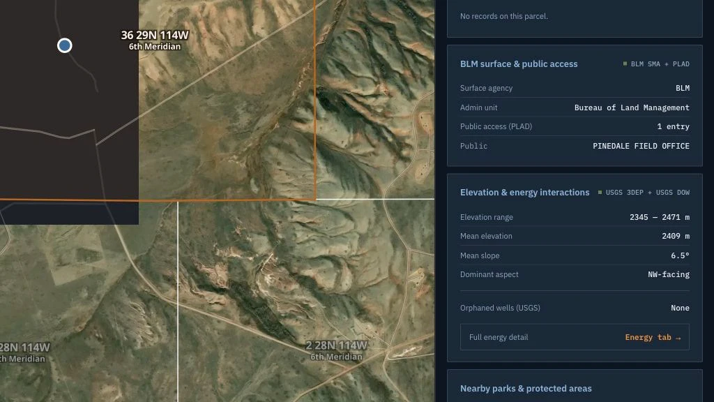
Before you close on a landlocked parcel, check public land access with BLM PLAD data in the Federal Land pack, alongside flood, wetlands, and soils on one lookup.
Read article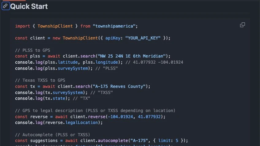
Add PLSS geocoding to a Node.js app with the Township America TypeScript SDK: single lookups, batch conversion, autocomplete, and GeoJSON polygons.
Read article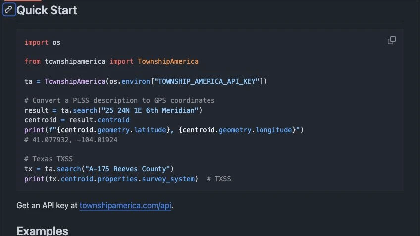
Use the PLSS Python SDK to geocode legal descriptions in Python. Batch convert a CSV to coordinates and GeoJSON polygons, then load the result into GeoPandas and QGIS.
Read article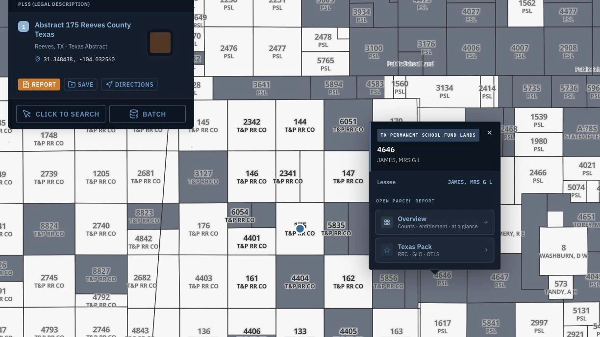
Texas PSF land and state-agency surface can reshape a ranch or surface rights deal. See what the Texas pack surfaces before you make an offer.
Read article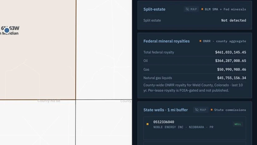
Read county-level ONRR federal royalty totals beside BLM leases and wells. Learn what the Energy pack can screen and what requires lease-specific records.
Read article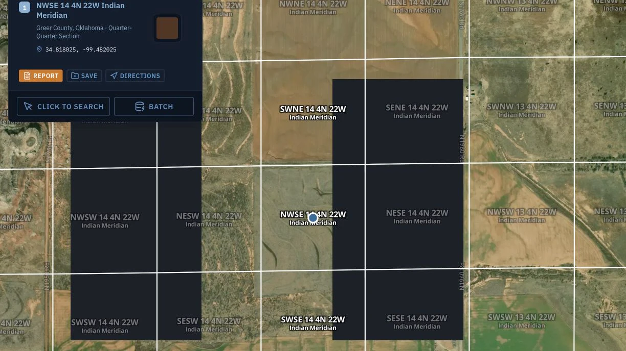
A mineral rights PLSS description like NWSE 14 T4N R22W is not a street address. Here is how to locate your parcel on a map from the legal land description.
Read article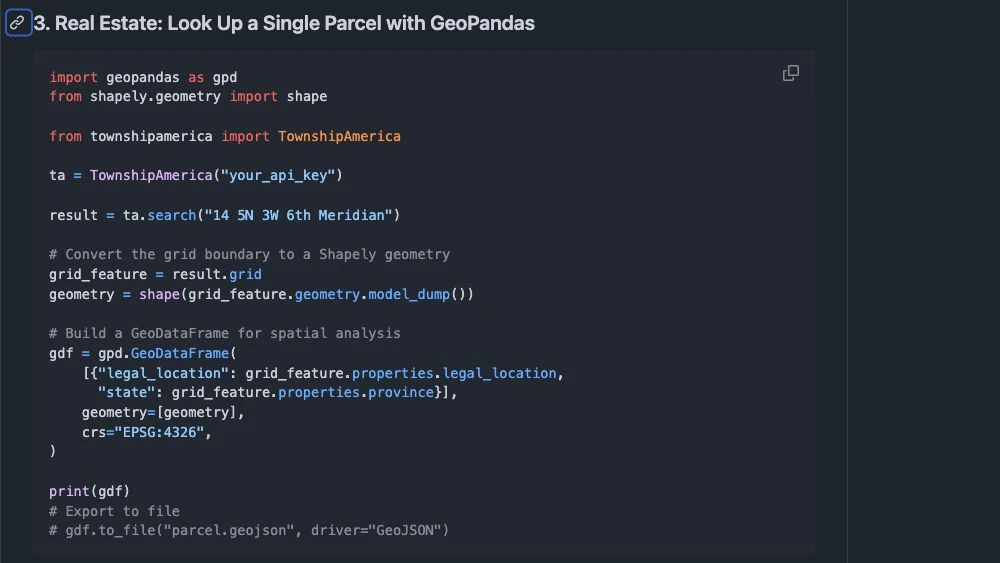
Pull real PLSS GeoJSON polygon boundaries, not centroid points, and use section geometry in PostGIS, QGIS, and ArcGIS for overlays and spatial joins.
Read article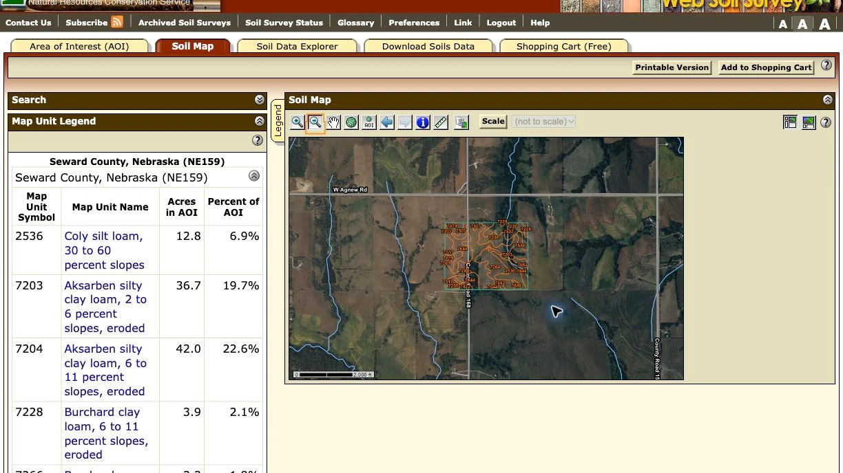
Agricultural lender parcel due diligence needs soil class, crop history, and flood risk. See how the Federal Land pack returns them from one legal description.
Read article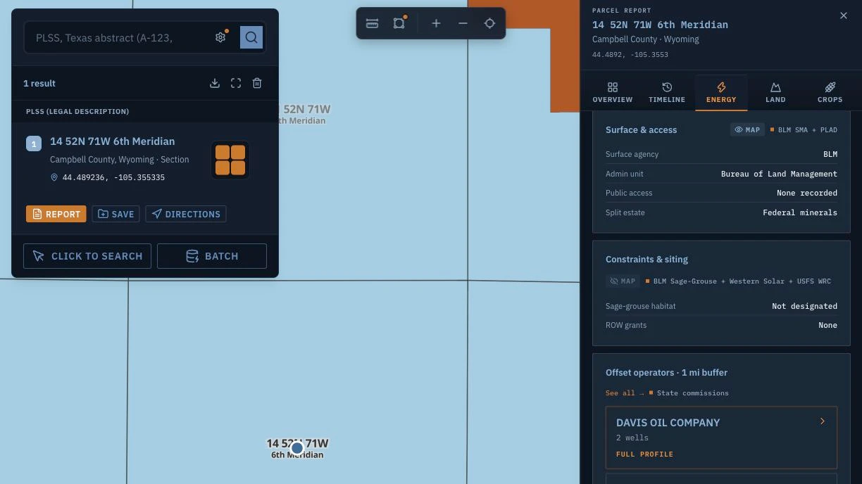
Split estate detection for oil and gas landmen: read federal subsurface minerals from a legal description before an acquisition offer goes out.
Read article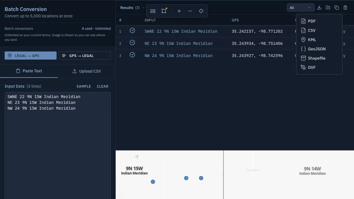
Batch PLSS to GPS for rural insurance: upload a CSV of legal descriptions, get coordinates and parcel boundaries back, and export to the formats your rating and GIS systems read.
Read article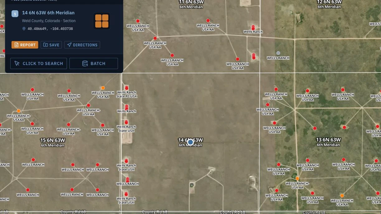
Read a Colorado PLSS legal description across three principal meridians: the 6th PM for the DJ Basin, the Ute PM for the Piceance, plus Energy pack well data.
Read article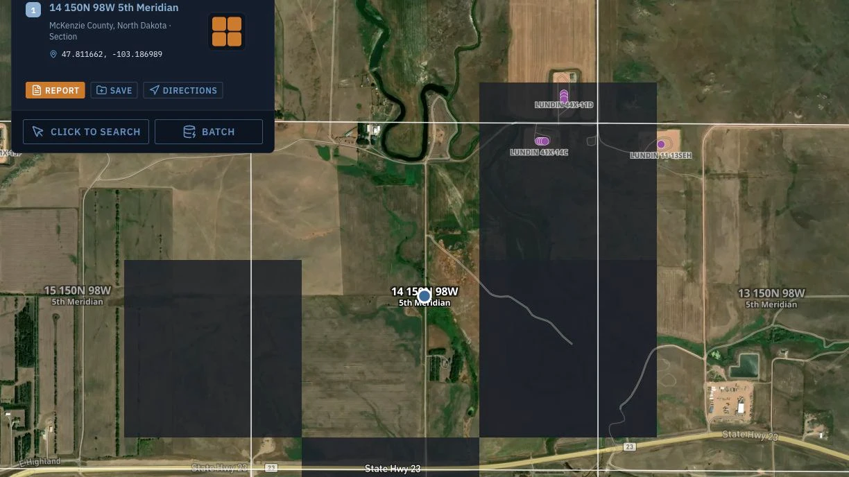
Read a North Dakota PLSS legal description in the Williston Basin: the 5th Principal Meridian, Bakken spacing units, and cross-meridian Montana work.
Read article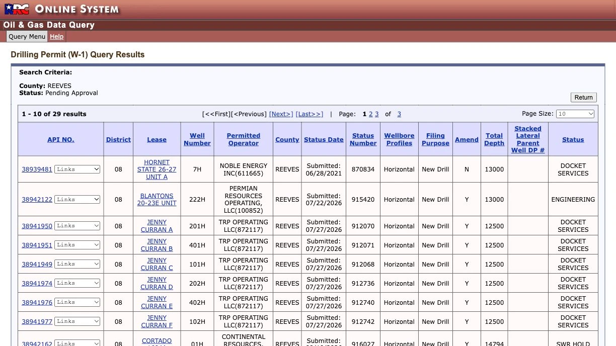
Use a Texas RRC W-1 permit to see planned drilling near a tract. How to resolve an Abstract and Survey description and read pending permits with the Texas pack.
Read article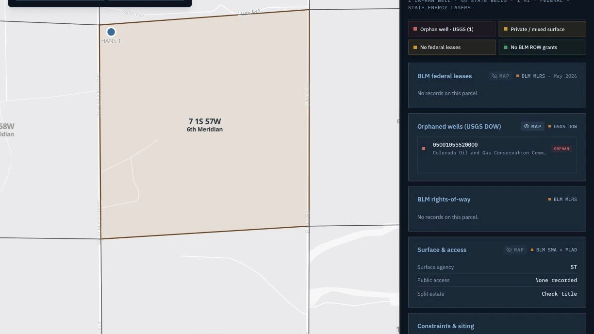
Run a USGS orphaned wells O&G acquisition screen from a PLSS legal description with the Energy pack, and read the result before due diligence closes.
Read article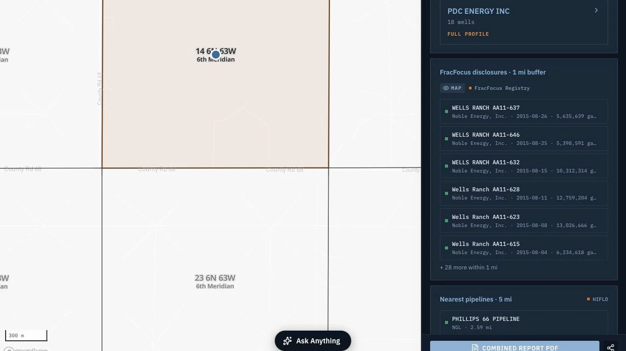
Screen FracFocus hydraulic fracturing disclosures on a PLSS legal description with the Energy pack, and know when a parcel needs a full Phase 1 ESA.
Read article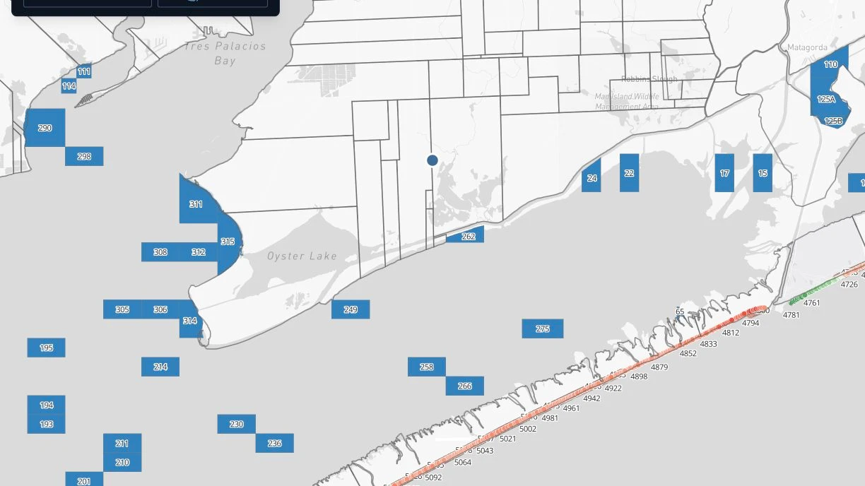
Texas coastal property erosion and GLO bay tract diligence: what the Texas pack coastal layers show for bay tracts, oyster leases, erosion, and shoreline change.
Read article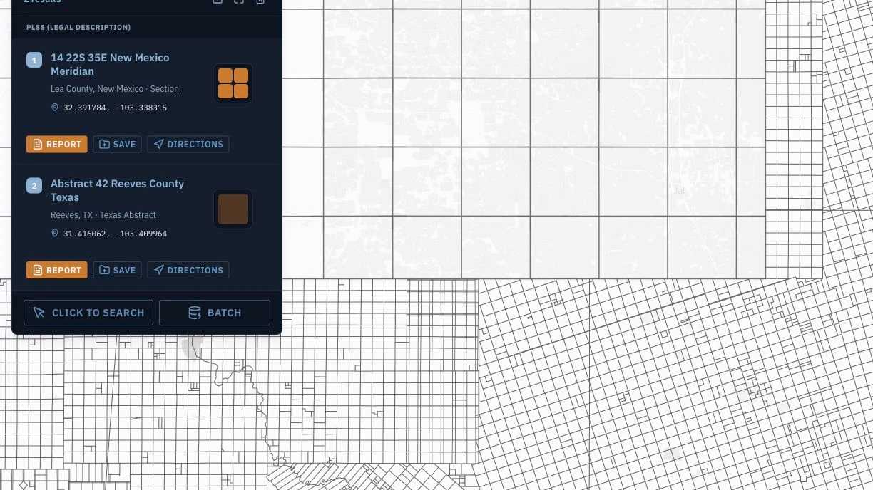
Permian Basin Texas Abstract and New Mexico PLSS title work in one workflow: resolve both survey systems, place every tract, and read the Texas pack layers.
Read article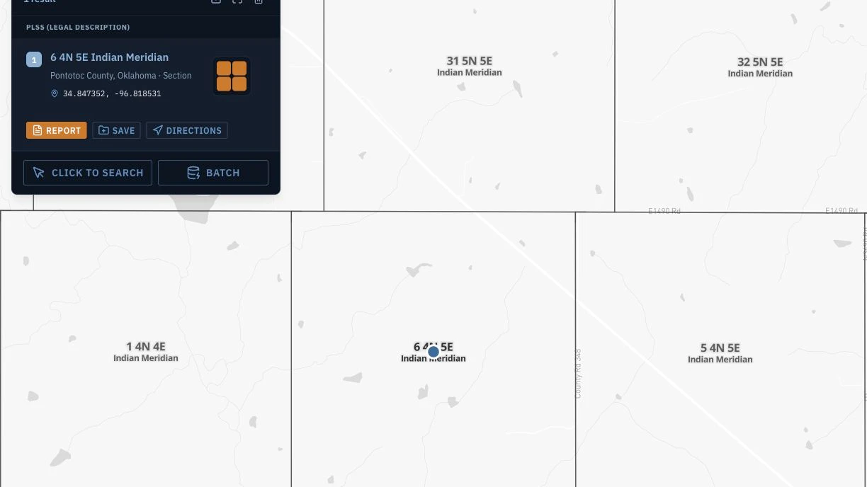
A PLSS section boundary polygon from BLM survey data is not a 640-acre box. Here is why government lots and fractional sections break centroid estimates, and when the difference matters.
Read article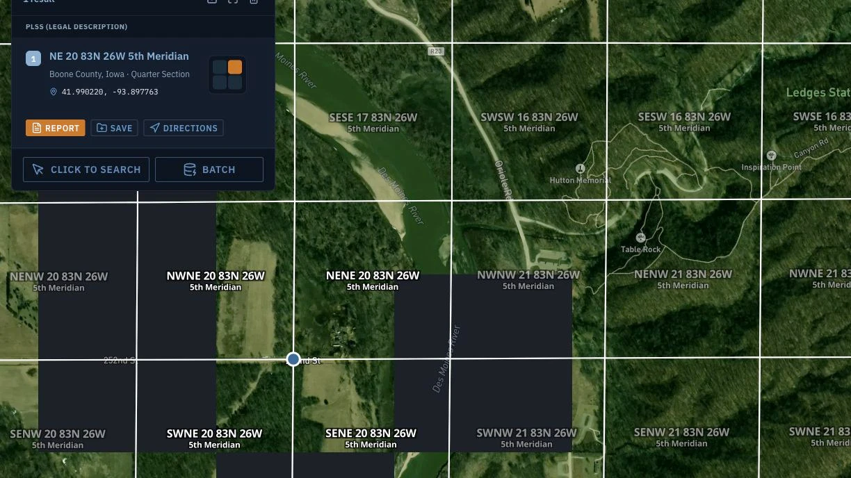
Farmland due diligence with federal land layers: check FEMA flood zones, NRCS soils, USDA crop history, and BLM access from one legal description before you bid.
Read articleBatch PLSS conversion for oil and gas data teams: upload a CSV of legal descriptions, get latitude/longitude and GeoJSON polygons, and export to Shapefile or GeoJSON.
Read articlePLSS legal descriptions drive BLM renewable energy siting. See how the Energy pack screens sage-grouse habitat and federal split estate before you file an SF-299.
Read articleRead Oklahoma PLSS Indian Meridian legal descriptions: how the meridian differs from the 6th Principal Meridian, plus Anadarko and Arkoma basin O&G workflows.
Read article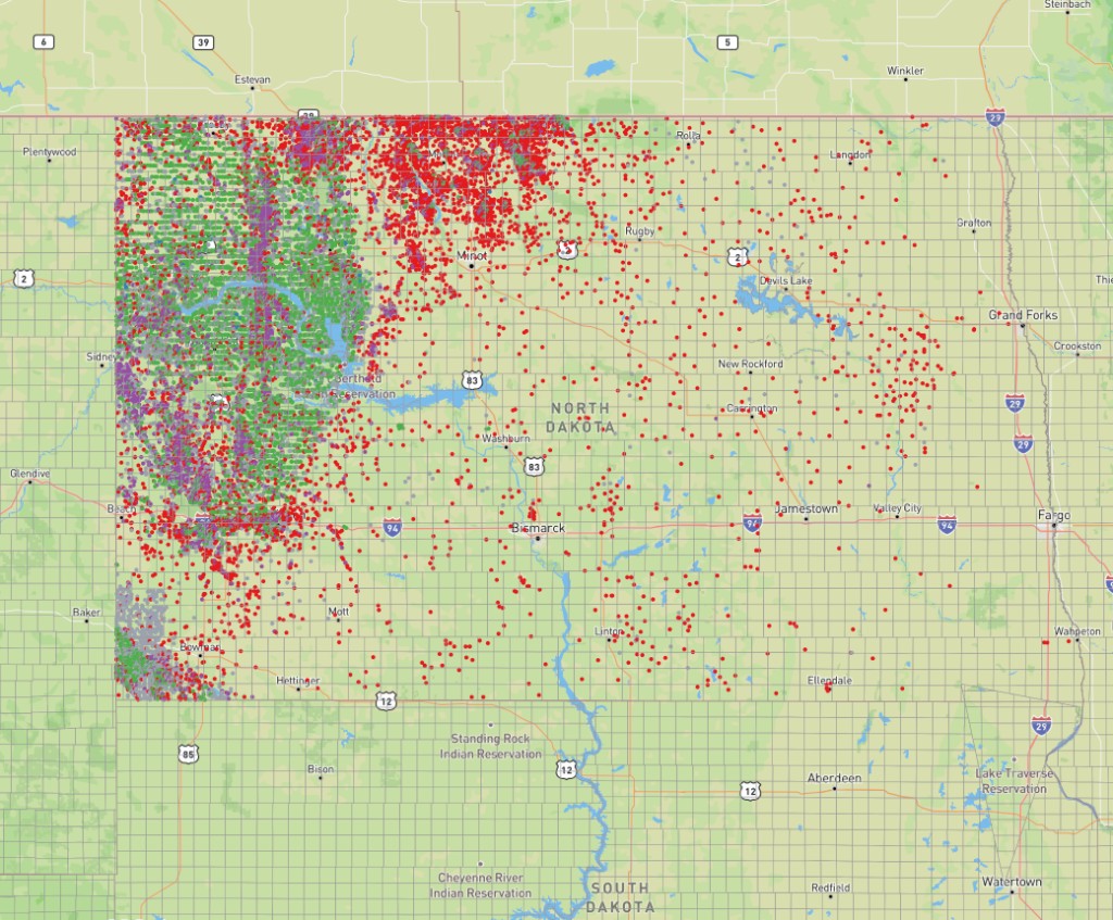
How to read North Dakota PLSS legal descriptions for Bakken Formation APD filings: the 5th Principal Meridian, Dickinson Field Office routing, 1,280-acre spacing units, and cross-state work at the Montana line.
Read article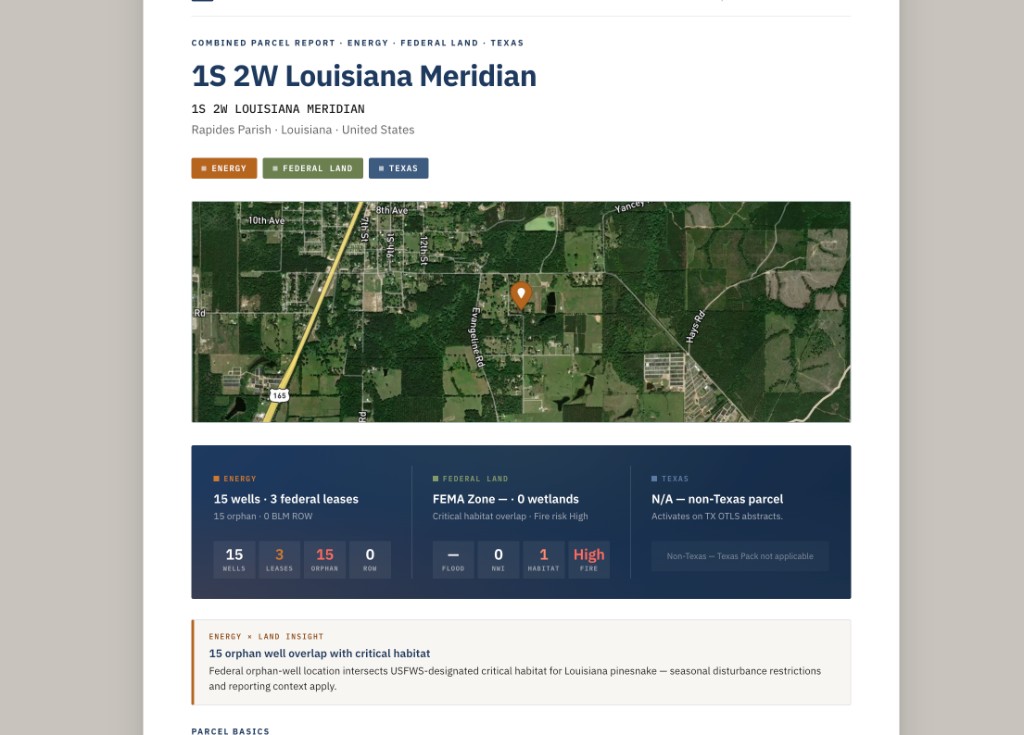
Wildfire risk is now part of rural property diligence. See how the Federal Land pack overlays USFS hazard layers on any PLSS legal description in one search.
Read article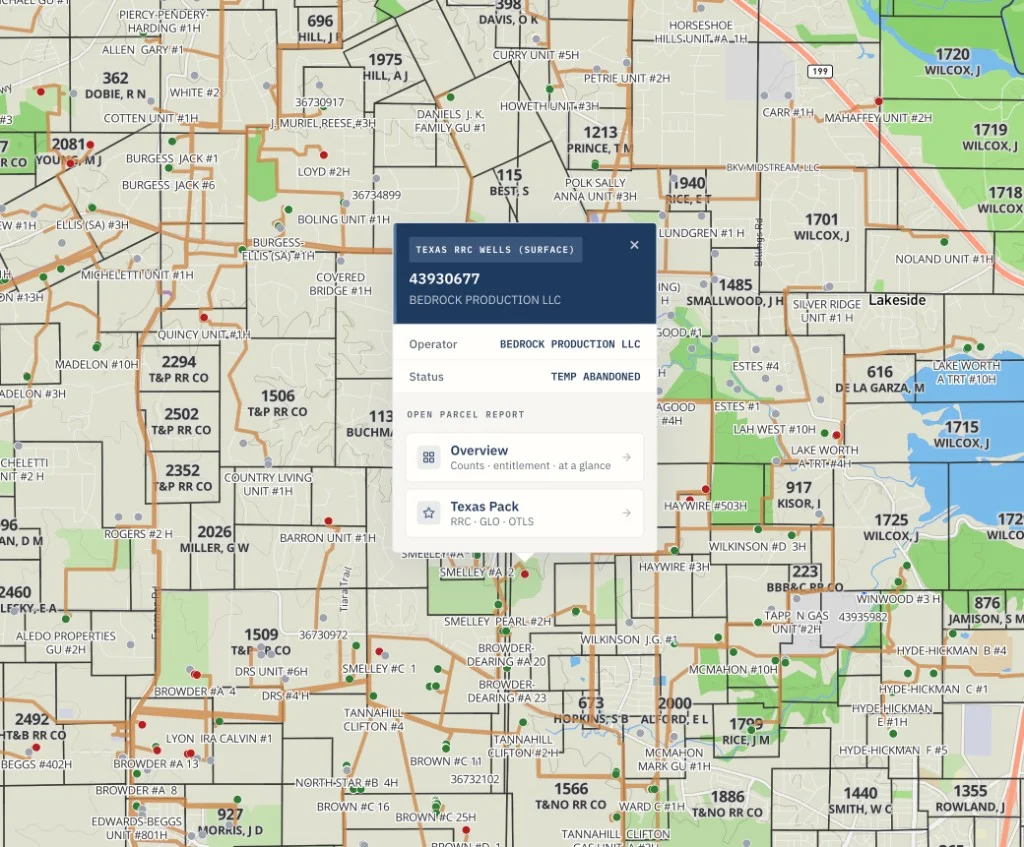
Permian Basin lease due diligence across the Texas-New Mexico line: use the Texas pack to check RRC wells, lease production history, and pending W-1 permits.
Read articleHow to read a mineral rights legal description in PLSS format: township, range, section, aliquot parts, and principal meridian. A first-time buyer guide.
Read articleRead a North Dakota PLSS legal description for Bakken Basin APD work: the 5th Principal Meridian, Dickinson field office routing, and 1,280-acre spacing units.
Read article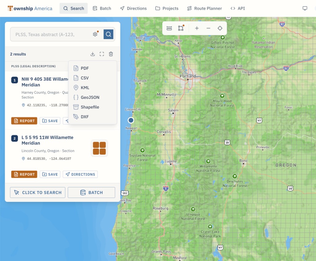
Export CadNSDI-accurate PLSS section polygon boundaries as Shapefile, GeoJSON, or KML from any Section-Township-Range description. Step-by-step guide for ArcGIS Pro, QGIS, and BLM right-of-way applications.
Read article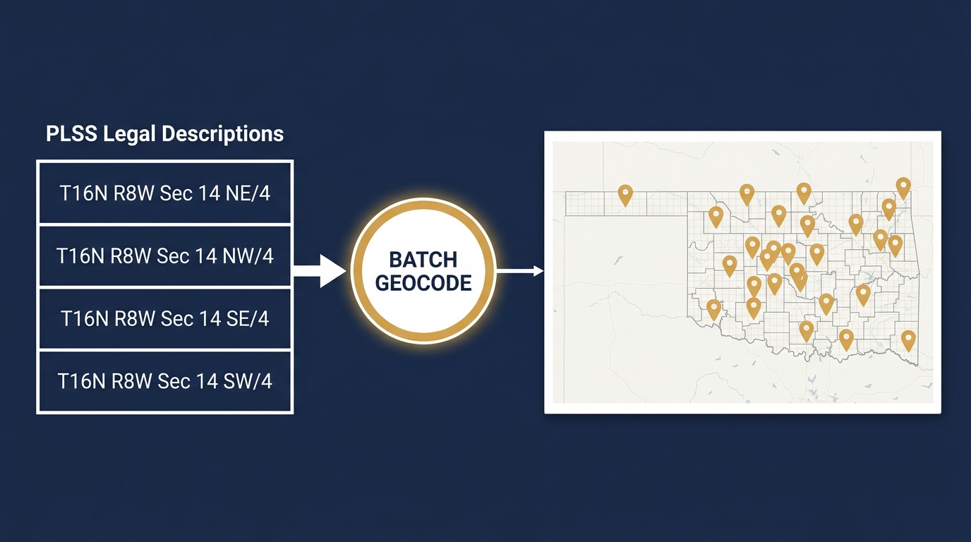
Convert Oklahoma Section-Township-Range to lat/long for Power BI, Excel, and Google Sheets: a batch geocoding workflow for O&G well tables, with code.
Read articleThe PLSS MCP server gives any AI agent a tool to convert legal descriptions to coordinates mid-conversation: three tools, one install, all 30 PLSS states.
Read article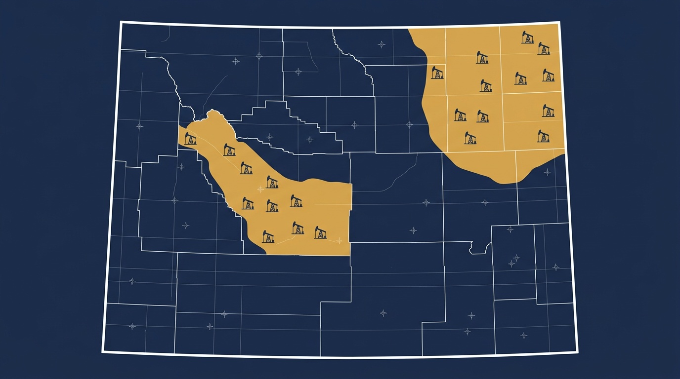
Read a Wyoming PLSS legal description for Powder River and Wind River Basin work: the 6th Principal Meridian, BLM field office routing, and APD filing errors to avoid.
Read articleHow field crews prepare for PLSS lookups in low- or no-coverage areas: what to do before leaving the road and how the Township America converter fits into field workflows.
Read articleConvert Oklahoma section, township, and range to lat/long for Power BI, Excel, and Google Sheets — Power Query, LAMBDA, and the add-on, with a SCOOP example.
Read article
The Township America API now returns full GeoJSON polygon boundaries for PLSS sections and quarter-sections. Use PLSS parcel boundary polygons directly in QGIS, ArcGIS, or Leaflet without post-processing.
Read article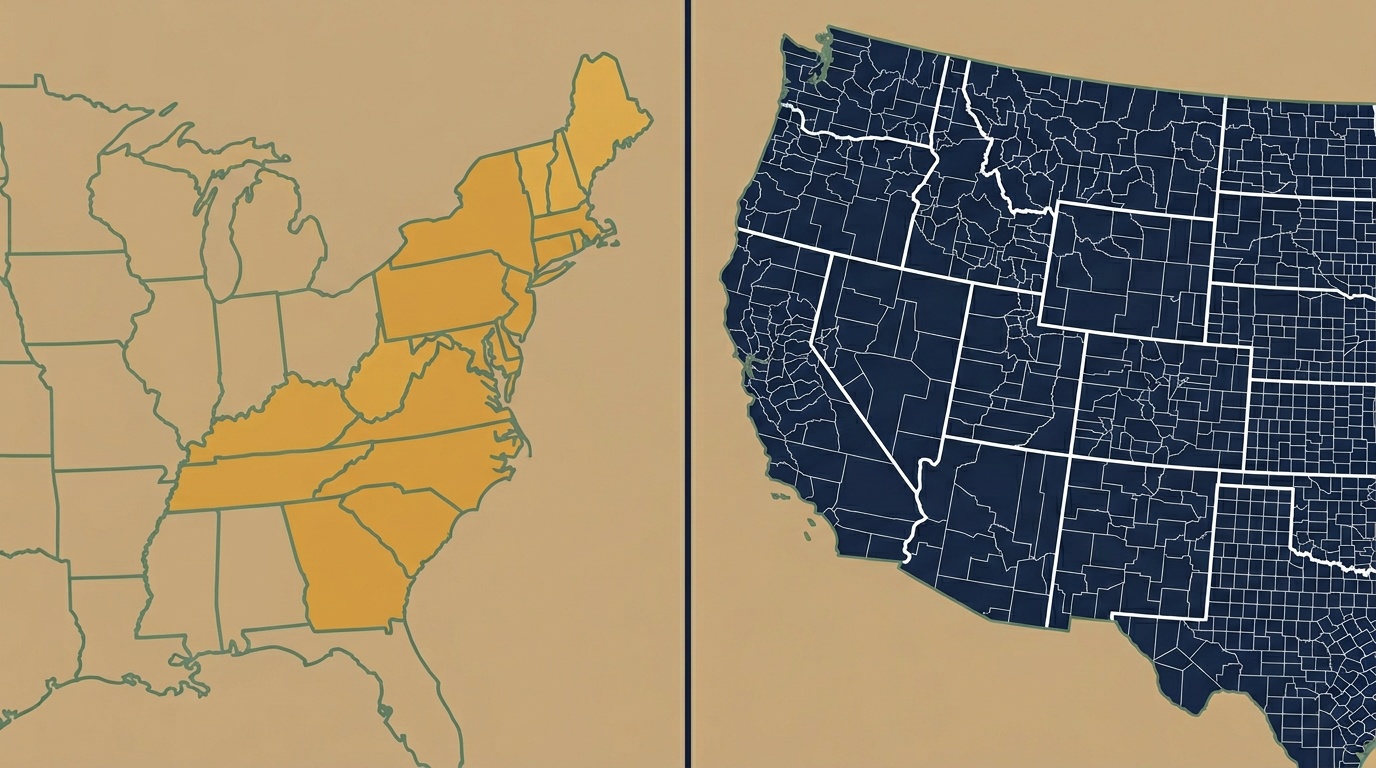
Metes and bounds vs PLSS, learn which legal description system your state uses, how each works, and when you need a converter vs. a surveyor.
Read article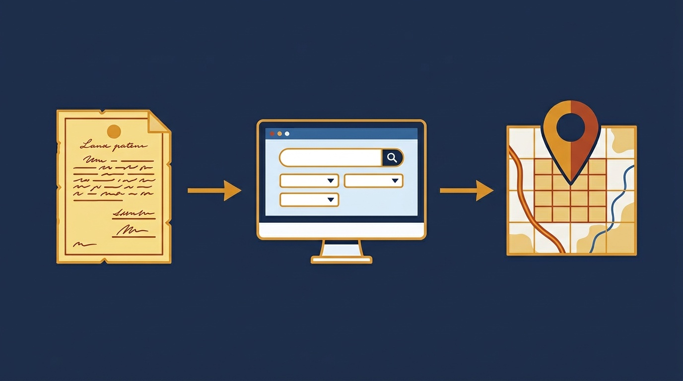
How to use BLM GLO records for title research in 2026. Step-by-step guide to finding land patents, reading field notes, and converting legal descriptions to GPS.
Read articleDrone surveys deliver precise spatial data but not PLSS legal descriptions. Learn how to convert UAV flight coordinates to Section-Township-Range.
Read article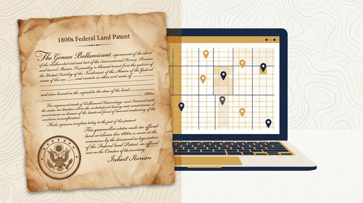
The BLM General Land Office records system turns 80 in 2026. Here's what's changed, how to search GLO records, and how to convert survey plat descriptions to latitude and longitude.
Read articleHow oil and gas teams verify PLSS well site locations from APD filing through field deployment: quarter-quarter precision on every 40-acre target.
Read article
Need a PLSS converter that works without Google Earth? Township America converts legal land descriptions to GPS coordinates in any browser, with API access, batch processing, and mobile support.
Read article
How GIS analysts and surveyors convert drone flight boundaries to Section-Township-Range legal descriptions using reverse PLSS lookup and the Township America API.
Read article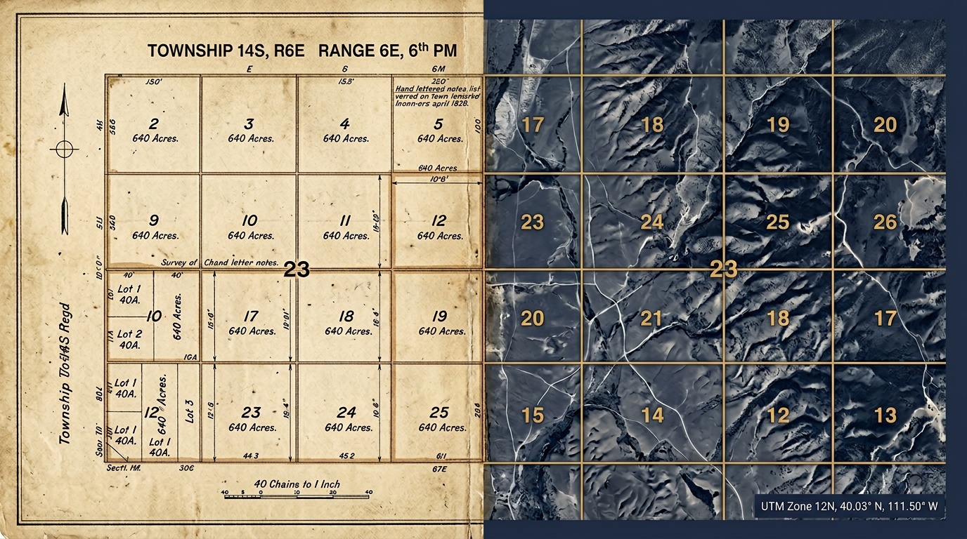
How to search BLM GLO records, read historical survey plats, and convert GLO legal descriptions to GPS coordinates for title work.
Read articleWhat PLSS data APD filings require, how WellSTAR, OCC, and RRC handle coordinates, and how to catch errors before permit submission.
Read articleThe BLM's Western Solar Plan opened 31 million acres to solar development. Every SF-299 permit requires exact PLSS legal land descriptions. Here's what energy developers need to know.
Read article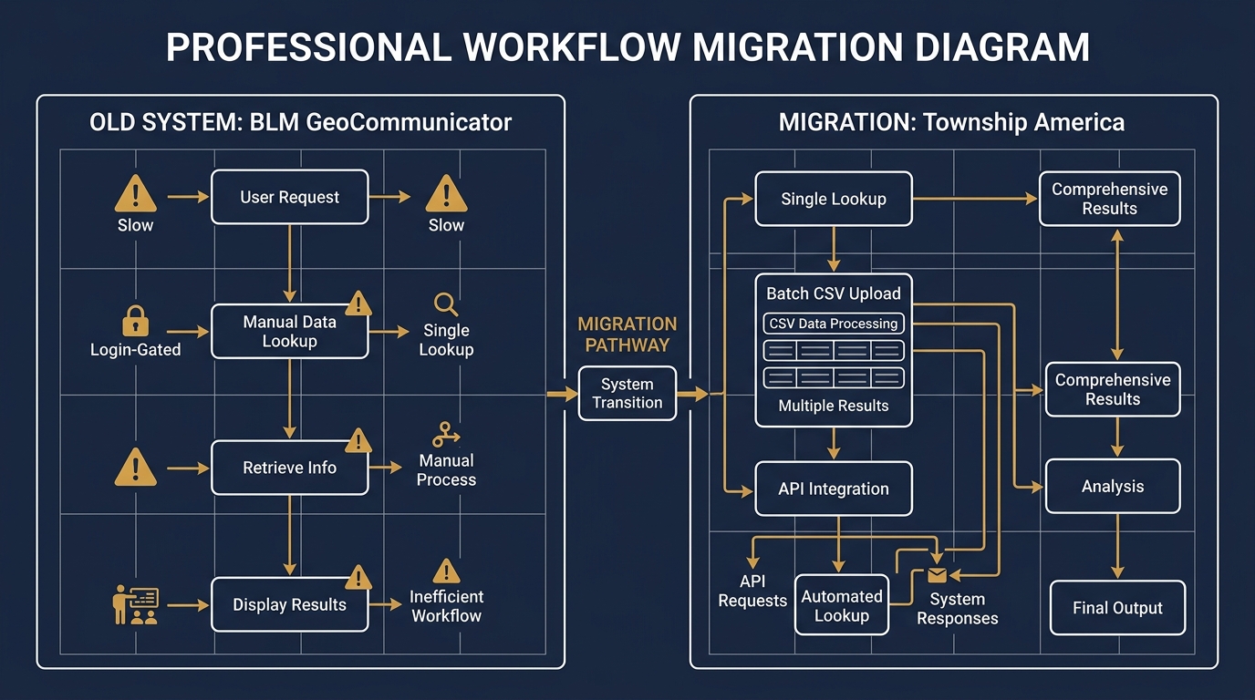
BLM GeoCommunicator is slow, login-gated, and missing batch and API support. Here's how landmen and surveyors are replacing it with a faster, more capable PLSS lookup workflow.
Read article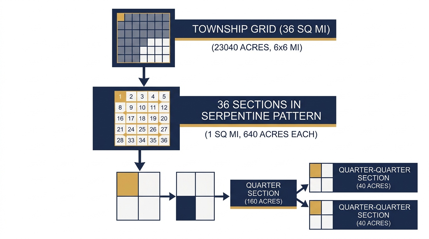
A PLSS township is 6 miles by 6 miles: 36 square miles containing 36 sections and 23,040 acres. Here's how the grid breaks down from township to quarter section.
Read article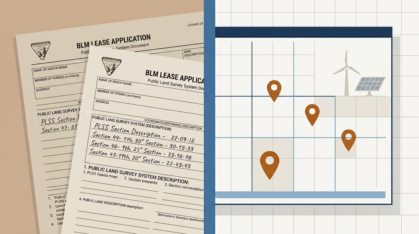
PLSS renewable energy siting requires exact legal land descriptions. Learn why accurate coordinates matter for BLM solar and wind lease applications.
Read article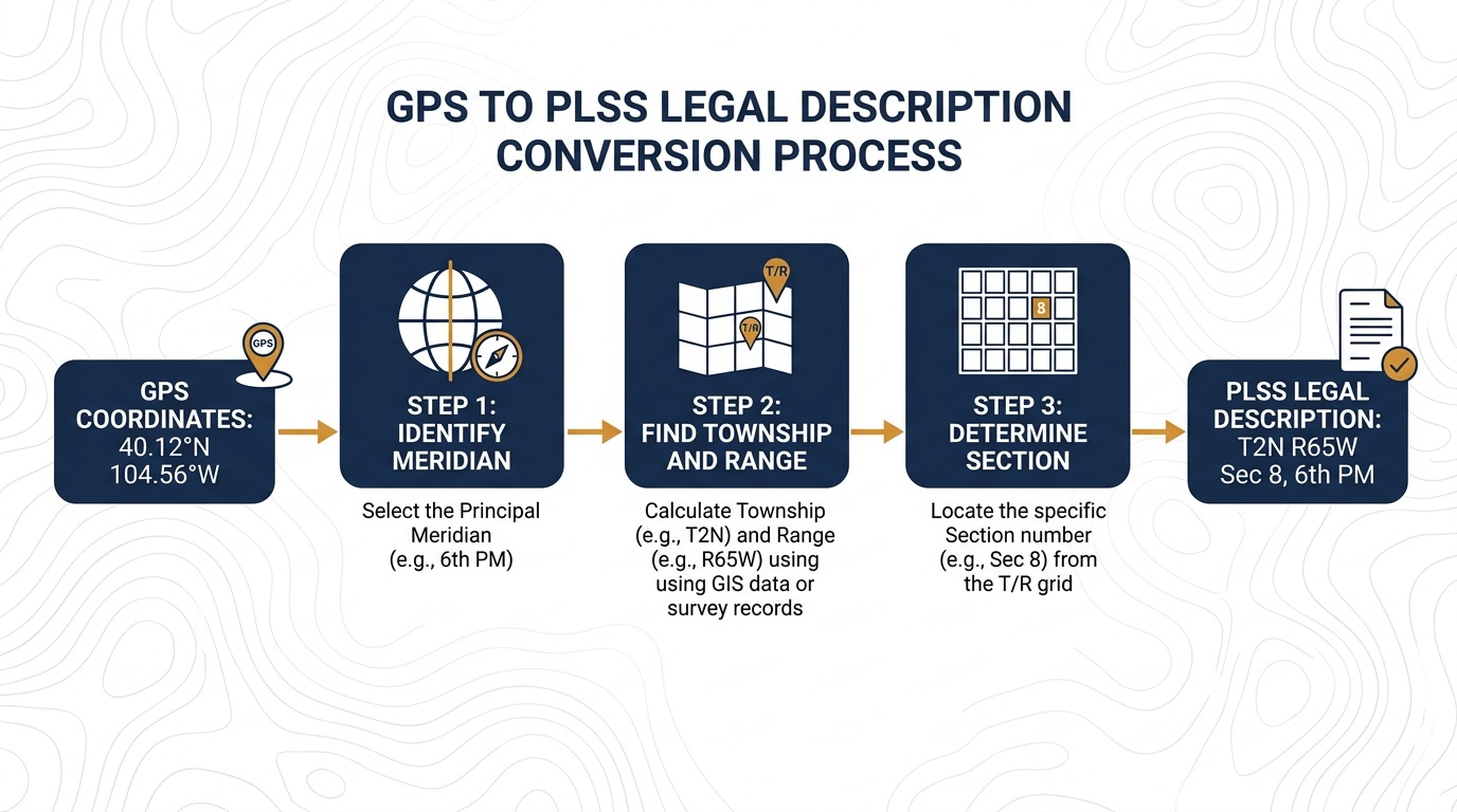
Convert latitude and longitude to a PLSS legal description using reverse lookup. Step-by-step guide for surveyors, landmen, and GIS analysts.
Read article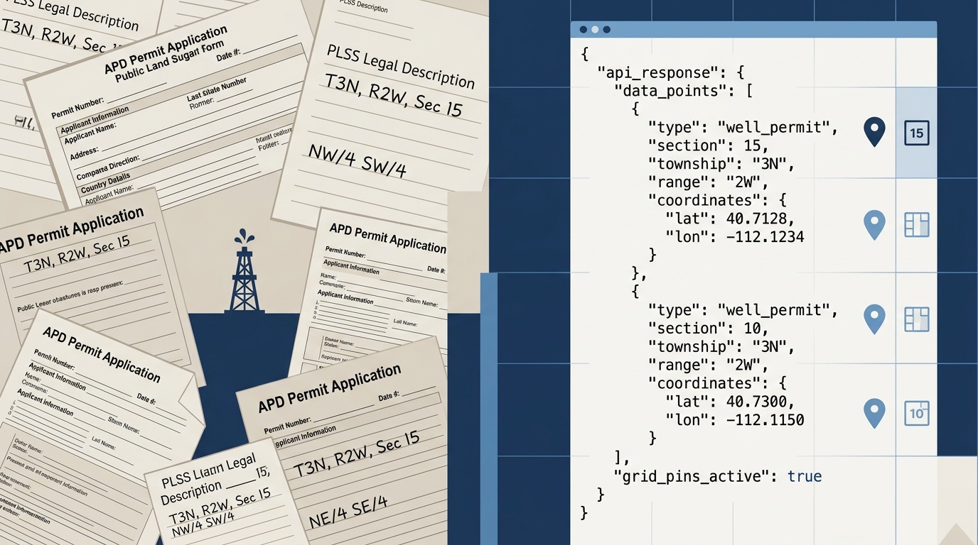
Land departments use the Township America PLSS API to convert legal descriptions to GPS coordinates for APD filings. One endpoint, GeoJSON out.
Read article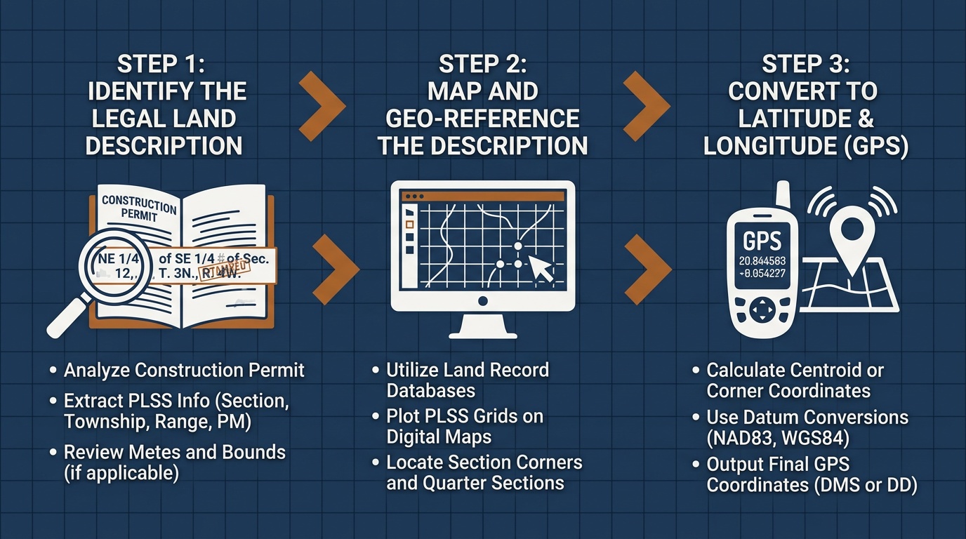
Learn how to read PLSS legal land descriptions on construction permits. Township, range, section, and quarter section decoded for contractors and site managers.
Read article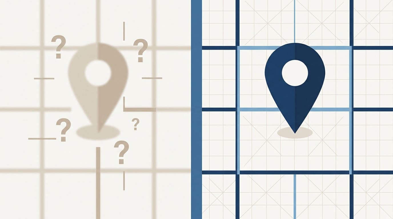
An accurate PLSS converter matters for drilling permits, title searches, and FSA filings. Learn how coordinate-offset errors happen and why BLM CadNSDI data is the standard.
Read article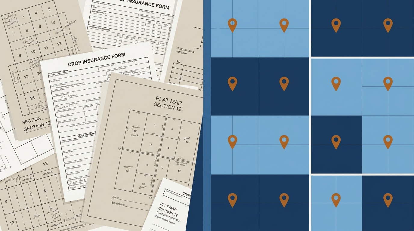
PLSS crop insurance filings require exact quarter section descriptions. Learn how to verify legal land descriptions before spring deadlines.
Read article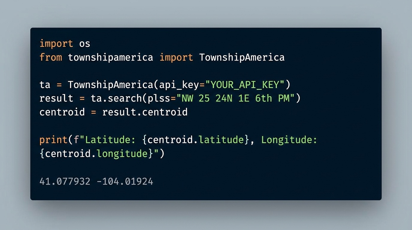
The townshipamerica Python SDK brings PLSS-to-GPS conversion to PyPI. Typed models, async support, and batch endpoints for GIS developers and land tech teams.
Read article
Explore enhanced team functionalities with our new structured roles, perfect for every level of your organization.
Read article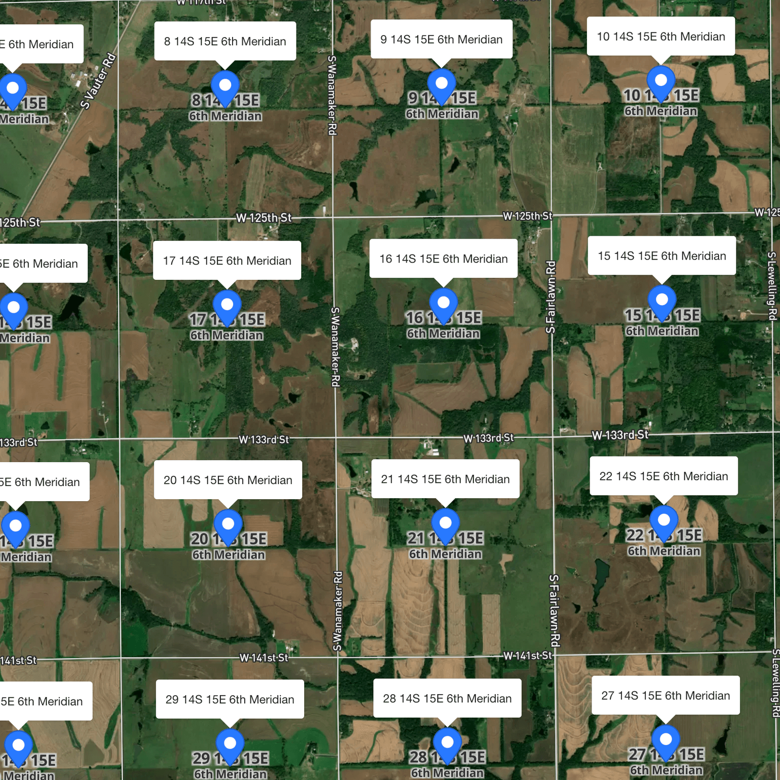
Discover Township America's updated Batch Conversion Tool with data processing report and 'N/A' placeholders for unmatched records.
Read article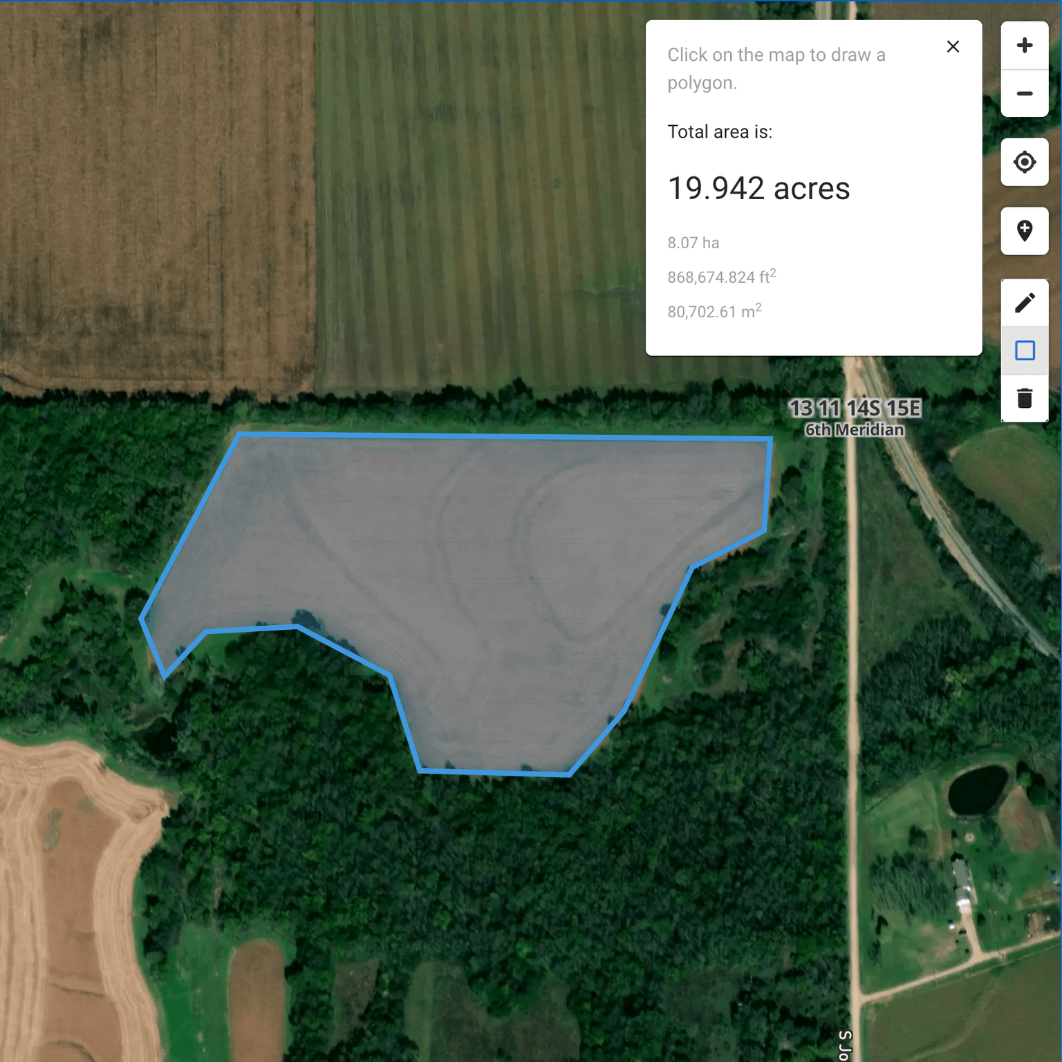
Township America app now includes a polygon drawing tool for area measurement on maps, enhancing user experience with precision and ease.
Read article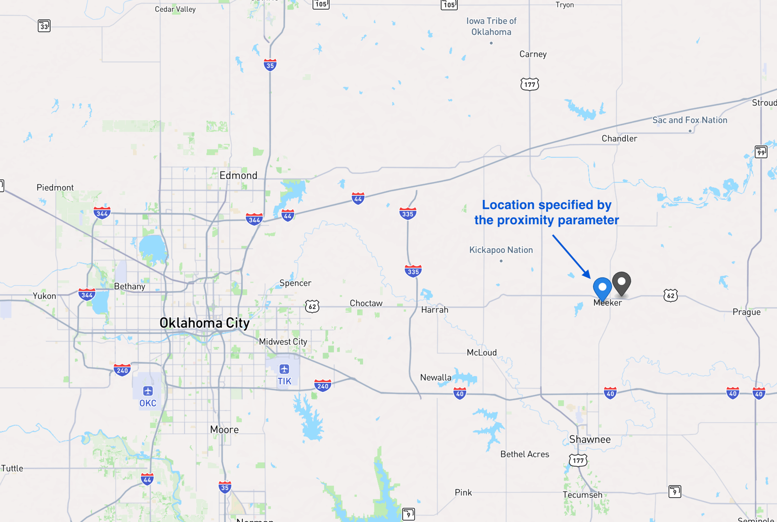
Township America's API now includes a proximity parameter, enhancing search accuracy for legal land descriptions by prioritizing nearby locations.
Read article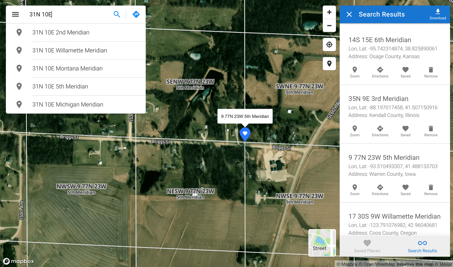
Announcing the launch of Township America, extending Township Canada's mapping and land description services to the US.
Read articleGet the latest news and updates from Township America delivered to your inbox.
Contact Us